Drilling Engineering Center
Drilling Services
Other Services
Hallmark Oil And Gas Ltd.
We provide a wide range of products and services with well trained and experienced personnel
More About Us
Directional Well Planning Services

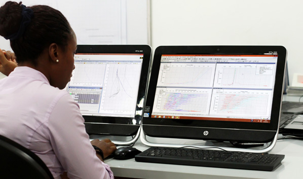
Our Landmark’s COMPASSTM Directional Well Planning software is an industry first class application employed by our Drilling Engineering Centre. To ensure safe and efficient operations, staying on the right trajectory is very critical. Torque and drag, rock properties, cost and the location of existing wells can pose potential problems and affect the optimal well trajectory. COMPASS™ software is the industry’s premier application for 2D and 3D directional well path planning, survey data management, torque and drag analysis, cost and re-entry optimization, plotting and anti-collision analysis enabling our engineers to steer the bit and hit targets bull’s eye.
Benefits of Our Well Planning Software
Reduce well-planning cycle time. Data level incorporation with EDM improves planning cycle time, and improves operational performance. This allows each member of the asset team to share common data and provide the feedback required to improve planning cycle times and operational performance.
Accurate and cost effective well plans COMPASSTM quickly optimizes simple or complex trajectories based on cost, torque and drag, anti-collision. The software’s well path planner can automatically recommend the most appropriate well to sidetrack, saving days of costly trial and error analysis when carrying out infill drilling.
Real time simulations The software automatically computes a look-ahead plan based on real-time survey data for the most accurate representation of the well to total depth. When used with DecisionSpace® Well Engineering software, engineers can determine the impact of the current actual trajectory with respect to operations when the well is drilled to TD.
Interactive anti-collision scans Set up customized anti-collision scans interactively while planning, surveying, or projecting ahead. Also set up warnings and automatic email notifications to alert users when well paths converge on company-specified minimum criteria. Along with hard-copy reports, COMPASSTM software produces spider, ladder, 3D proximity, and traveling cylinder plots to provide the data needed to drill safely.
